
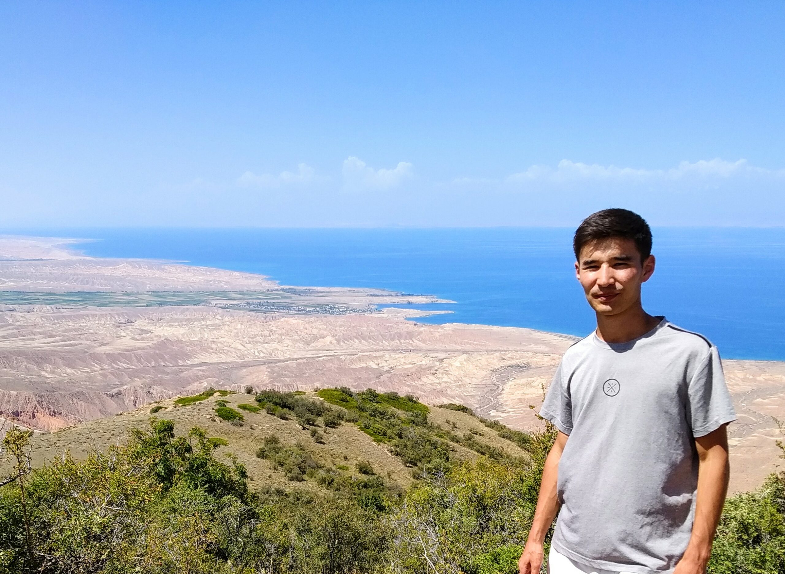
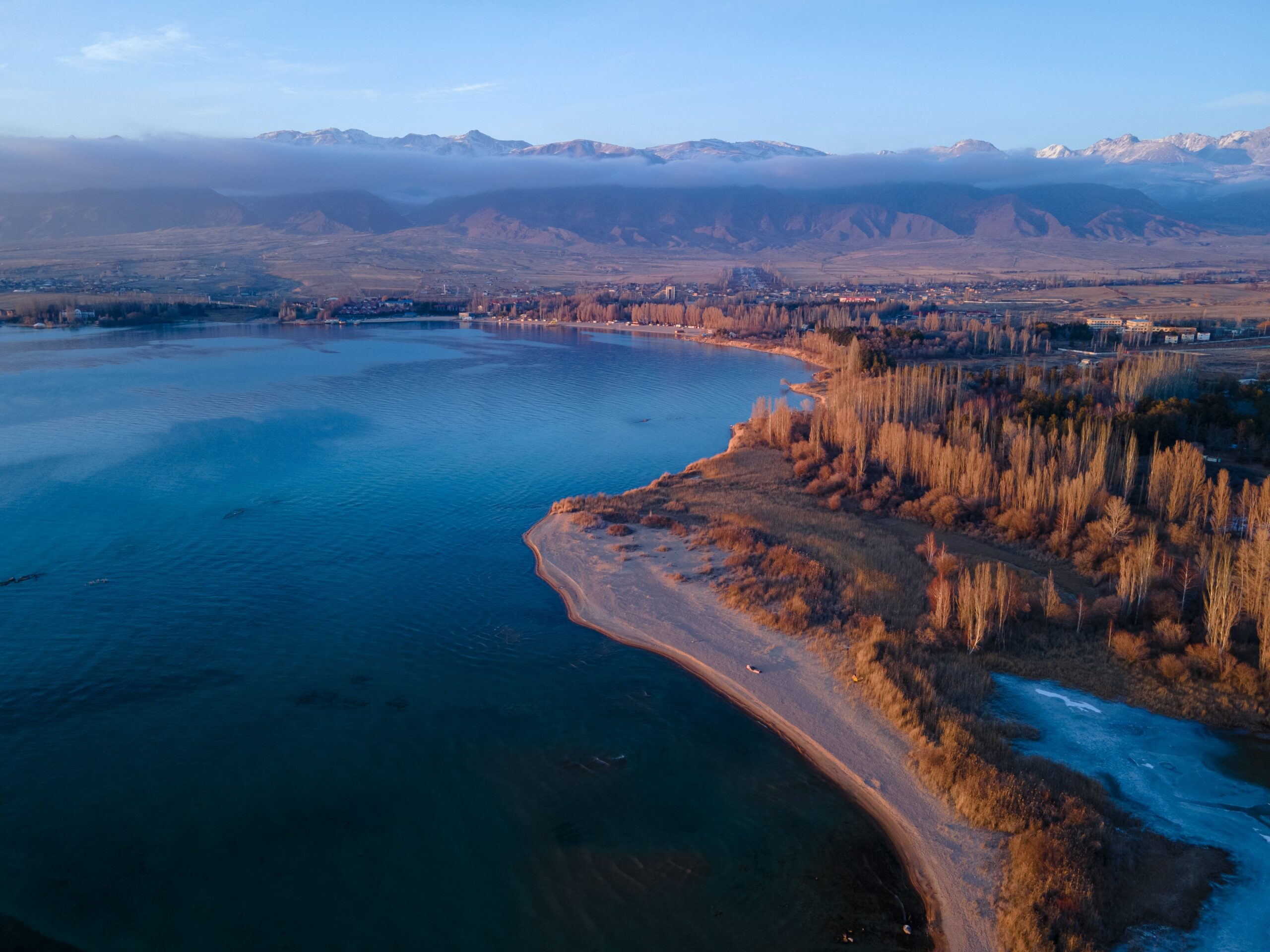
Issyk-Kul lake is the “pearl of the Tien Shan. The name of the lake comes from the word “hot lake” because it does not freeze in winter, although it is located at an altitude of 1,606 m. The lake is surrounded by mountains. To the north is the Kungei (“Sunny”) Ala-Too, to the south the Terskei (“Shadow”) Ala-Too. These mountain chains protect the Issyk-Kul hollow from strong winds.
Translated from Kyrgyz, “warm lake” does not mean that the water in it is warm, but that the lake never freezes.
The lake is 178 km long, 60 km wide and reaches a maximum depth of 668 meters. The surface area is 6,236 sq. km. The shoreline is approximately 688 km long. It is the second largest high-altitude lake after Titicaca in Peru.
Summer temperatures usually do not exceed 25-28 degrees, but since the lake is located at an altitude of 1,606 m, it can be very cold, especially at night. In January, it is minus 2-3° C. The water temperature in July at the surface is 20-23° C, in January it is 4-5° C. Ice forms only in small bays.
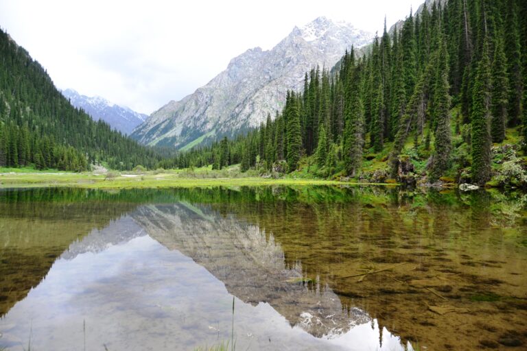
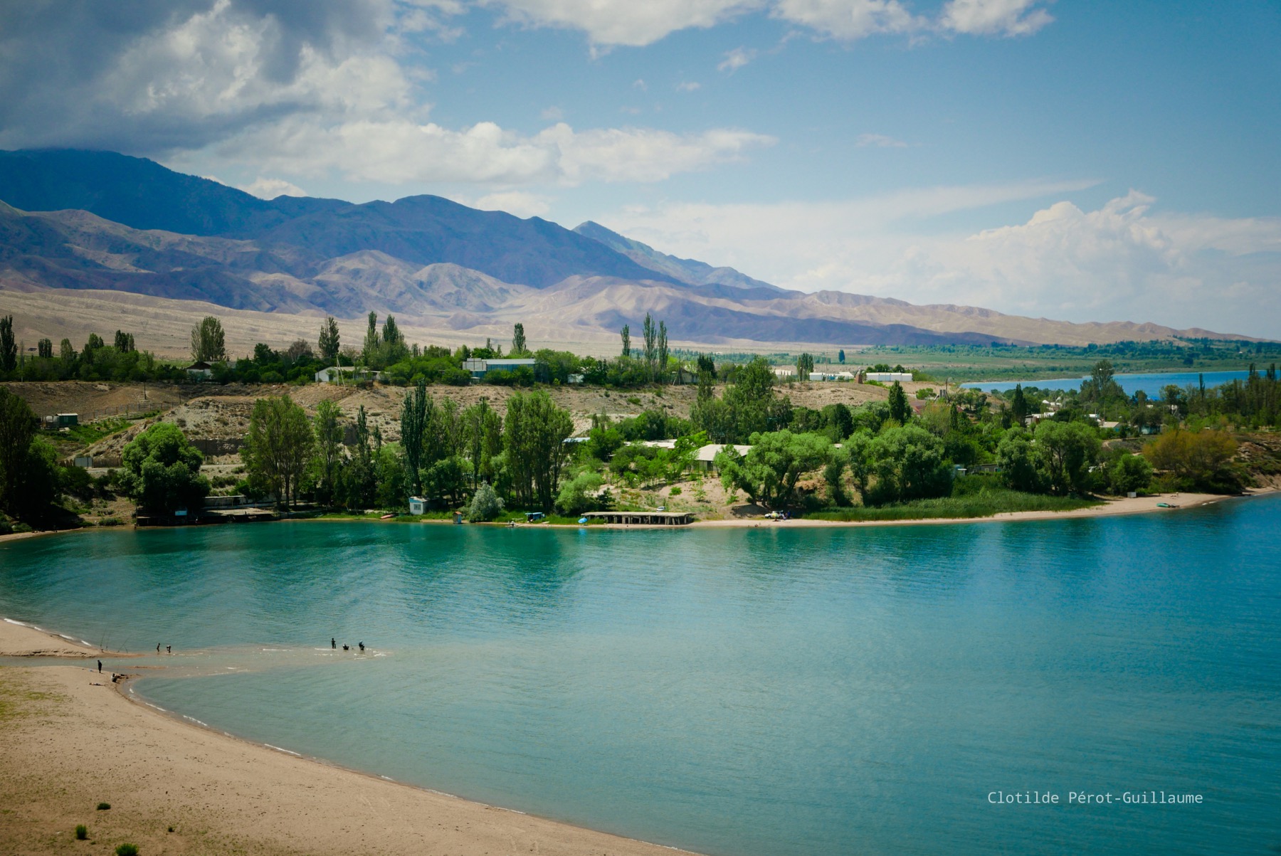
The water of Issyk Kul is of blue color and on a very clear day you can see the bottom up to 20 m deep.
The Boom Gorge and the San-Tash Pass are two opposite points in Issyk-Kul. They are the gateway to the basin through which the air masses that bring the change of weather invade. Both winds arise when cold air accumulates behind the mountains enclosing the lake basin. They cause a storm over Issyk-Kul, but their influence usually extends only twenty to thirty kilometers from the shore. And only sometimes the strength of the wind is enough for the storm to take over the entire lake. Two winds collide. Destructive tornadoes then sweep over Issyk-Kul, sometimes touching its shores.
Semenov-Tyan-Shansky wrote of Issyk-Kul: “the dark, blue surface of Issyk-Kul is as blue as the surface of Lake Geneva, but the large size of Issyk-Kul makes it grandiose. The Issyk-Kul water beautifully reflects the snow-capped Tien Shan peaks against the dark blue, bright, cloudless Central Asian sky.”
About 80 rivers flow into the lake (of which about 30 flow year-round), but none flows out of it, and every year about 80 centimeters of water evaporate from the surface of the lake, so the water is slightly salty (about 6%), which lowers the freezing point.
There is an assumption that Issyk-Kul has existed since at least the Neolithic period (7 million years ago) and has periodically dried up. Terraces along the shoreline of the lake indicate a higher water level in the past and the presence of underwater ruins of buildings at a depth of up to 7 meters indicate that the level of the lake fluctuated widely. In the 20th century, the water level dropped by more than three meters.
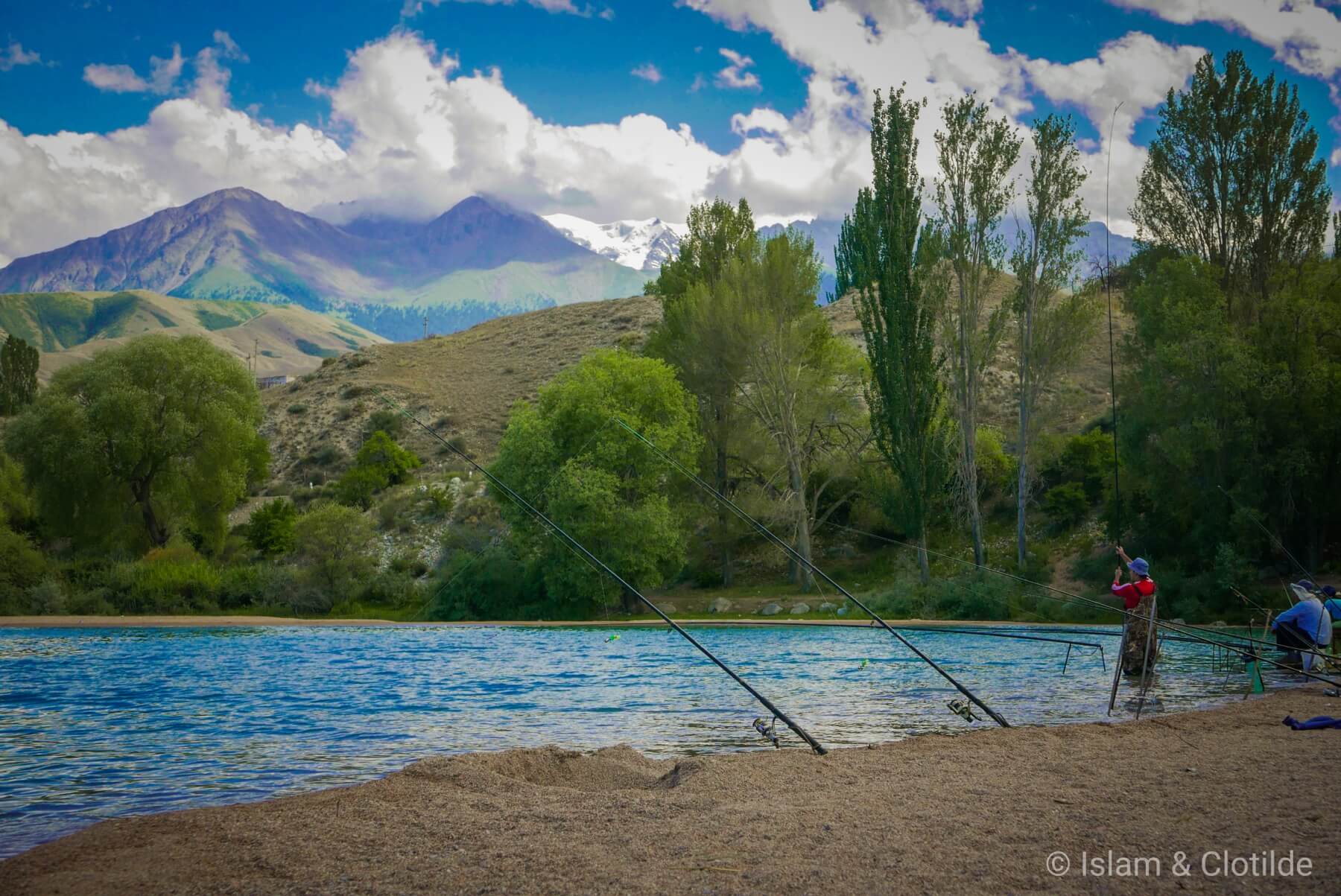
The water is not used for drinking and irrigation because of its high mineral content. The lake is home to 22 species of fish. The main commercial fish are naked sturgeon, chebak, chubak, carp and marinka. The western and eastern shores of the lake serve as a wintering ground for waterfowl, which gather here from 20 to 50 thousand. The main inhabitants are diving ducks, wild ducks, coots and teals.
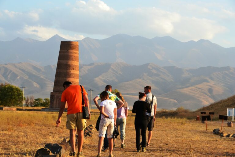
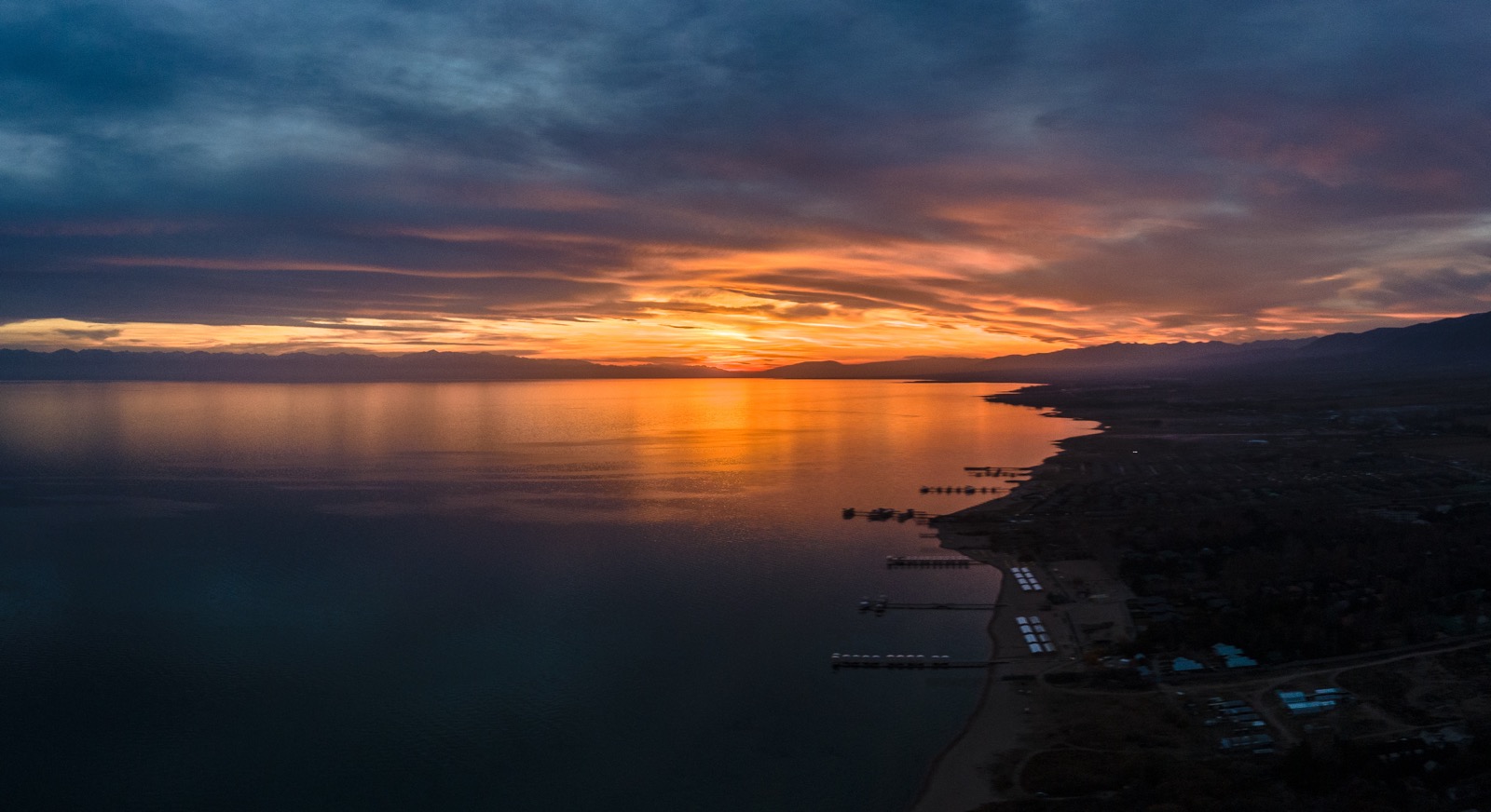
Around the lake there are many resorts, hotels, pensions and private homes, some are open year round, although most are open only during the summer season. The main resort area is the northern shore, centered in Cholpon-Ata. Some resorts have hydrothermal springs and offer mud baths.
Cosmonauts, after returning to earth, often rested on the shores of the lake, Brezhnev had his dacha here.
The tourist season usually lasts from June to September, and the peak is approximately from July 25 to August 25, and it is almost impossible to find a free place in boarding houses, and prices rise sharply.

The level of Lake Issyk-Kul.
It is known that fluctuations in the level of undrained water bodies are an integral indicator of changes in their basins’ moisture content. The indicator of wettability is also the river runoff, which is defined as the difference between precipitation and evaporation from the catchment area. The rivers of the Issyk-Kul basin are fed by snow and ice. One of the few exceptions is the Tyup River, the second largest river in the basin, which has snow feeding. Its basin occupies the lowest and most wetted part in the east of the basin. Here, the annual precipitation, according to the data of meteorological station (MS) Santash, is 880 mm.
The coupled analysis of the chronological course of the Tyup river discharge and the Issyk-Kul lake level showed that significant discharges of the Tyup correspond to the rise of the lake level, and insignificant ones – to its sharp drop. At the rate of flow of 8.2 m3 /s, the rise in the level of Issyk-Kul occurred at average annual flow rates of 9 m3 /s and above.
The Tyup River basin is an indicator of the moisture content of the Issyk-Kul basin as a whole. But on the rivers with snow-glacier feeding this deficit is not manifested, as the modern climate warming is accompanied by an increase in glacial runoff. At the same time, the increase in river runoff due to active melting of glaciers only partially compensates for the increase in evaporation from the lake water area.
The drop in the level of Lake Issyk-Kul is associated with a decrease in moisture content in its basin. Due to a noticeable warming of the climate and a decrease in the amount of precipitation that began in the last century, there has been a dramatic drop in the level of dry lakes in the arid regions of the globe. Lake Issyk-Kul is no exception, and the course of its level reflects global climatic processes.
The gravity level is the position of the lake’s edge at which the evaporation loss will be balanced with the inflow of water into the lake from precipitation and river runoff. At the same time, evaporation losses will be reduced by reducing the evaporating surface area. Calculations have shown that with the present value of water intake for irrigation, the area of Issyk-Kul will decrease by 512 km² over many years, and the level will drop by 10 m. In the absence of water intake for irrigation, the lake area would increase by 362 km², and the level would reach the elevation of 1615.7 m, i.e. 9.1 m above its current position.
