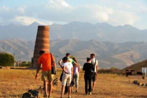
Ak-Terek, a settlement. It is located on the left bank of Ak-Terek river (Ton district, Issyk-Kul), in the northern part of Kyzyl-Tuu village. In terms of plan it is a square settlement, the length of sides 54 x 54 m. The walls are fortified with towers. The cultural layer is of insignificant thickness. The finds are represented by the clay crockery of X-XII centuries. The settlement was a fortification on the trade route, going along the southern shore of Issyk-Kul lake. Now it is under the building of Kyzyl-Tuu village. It was surveyed in 1962 by D.F. Vinnik. It was surveyed in 1962 by D.F. Vinnik.
There are rock pictures on the left bank of Ak-Terek river, 5 km to the south of Kyzyl-Tuu village. Figures of animals – goats, deer, horses, camels, etc. – are carved on boulders and rocks. Many drawings are made in the manner of the Scythian-Siberian animal style. The tract where the rock carvings are located was a sanctuary for the ancient tribes who inhabited the Ak-Terek River basin and the surrounding area, dating back to the 2nd – 1st millennium B.C. Discovered in 1962 by D. F. Vinnik.
Aichurek a spring
Aichurek, a spring. Ak-Jar village, Talas district, Talas region. Sacred place. The caretaker is Esengul


